OAK CREEK MITIGATION BANK
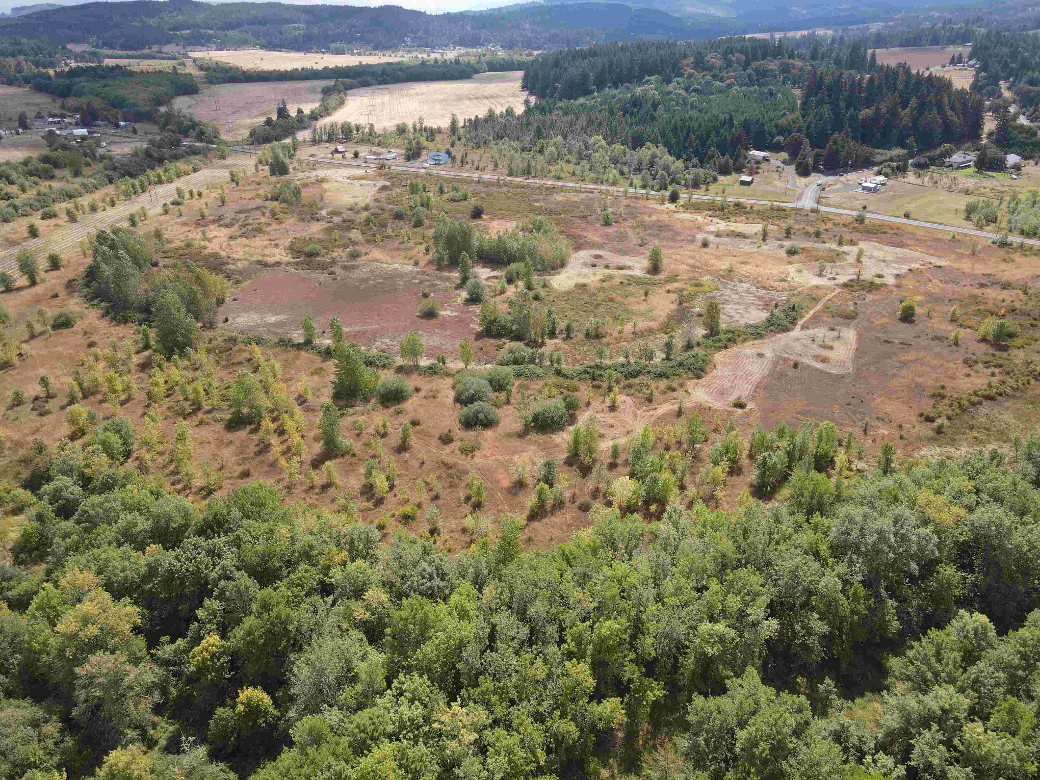
The Oak Creek Mitigation Bank is an 88.2-acre wetland preserve located in Lebanon, Linn County, Oregon. It is located within the floodplain of Oak Creek, in the Mid-Willamette River watershed. The Bank was established in 1999 as a partnership between the Oregon Department of State Lands, U.S. Army Corps of Engineers, and the Oak Creek Mitigation Bank, LLC.
Historically, the wetlands onsite had been drained for agriculture for more than 50 years, and Oak Creek was straightened and channelized with berms to contain the creek. The mitigation bank restoration plan included deactivating agricultural tiling, removing the berm along the creek, and increasing topological complexity by building small berms and depression.
Green Banks, LLC, took over management of the Bank in 2023 to bring it back into compliance and formed a partnership with the Bank Sponsor. restored and enhanced this long-farmed wetland and reconnected Oak Creek to its historic floodplain. Currently, the Bank is dominated by native tree, shrub, and herbaceous species. The project has created a diverse complex of wetland habitats, providing ecologically valuable natural resources that benefit the state of Oregon.
The Oak Creek Mitigation Bank has approximately 16 wetland credits remaining which will likely be available for purchase in 2026.
The Cowardin vegetation classes include: Palustrine Emergent (PEM), Palustrine Scrub-Shrub (PSS), and Palustrine Forest (PFO) wetlands. The Hydrogeomorphic Classification (HGM) of the wetlands are Riverine and Slopes/Flats.
For more information about credit availability and pricing, please contact C. Jonas Moiel at jonas@greenbanksllc.com.
| Wetland Credit Summary | Type | Credits (acres) |
|---|---|---|
| PEM, PSS, PFO, Slopes/Flats, Riverine | PEM, PSS, PFO, Slopes/Flats, Riverine, Riverine Impounding |
Total Credits Developed- 40.83 |
| Credits Soon to be Available | PEM, PSS, PFO, Slopes/Flats, Riverine, Riverine Impounding |
18.24 |