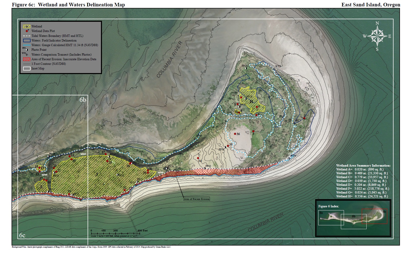
Green Banks provides natural resource survey and mapping services using Geographic Information Systems (GIS). We utilize high accuracy GPS units that can achieve sub-foot accuracy after post-processing. Our mapping services are typically combined with natural resource studies such as wetland delineations, endangered species surveys, or noxious weed surveys. We also have the capability to conduct elevation surveys and acquire custom aerial imagery flown by small aircraft.
